Spring Skiing and Wildlife Encounters Ahead of a Historic Snowfall
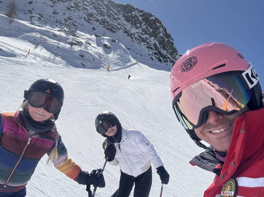
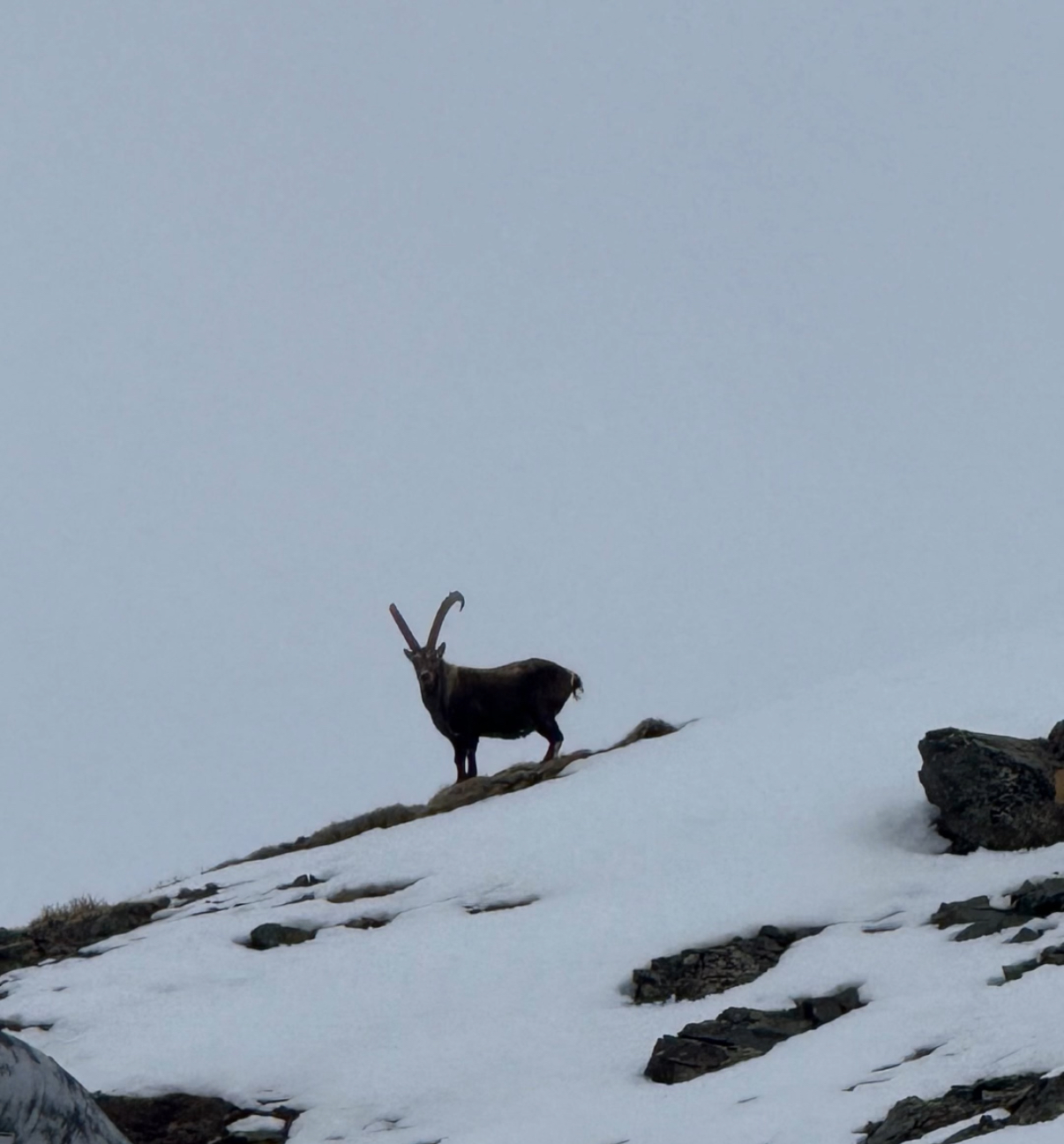
Spring skiing has its own unique charm—not just for the longer days and softer snow, but also for the incredible wildlife encounters that become more frequent as the season changes. Just the other day, while skiing high up in the Alps, I had the amazing chance to spot an ibex (stambecco) standing proudly on a ridge, watching the skiers below. Marmots have also begun to emerge, filling the alpine silence with their cheerful whistles. For nature lovers, this is the season to keep your eyes open while gliding down the slopes!
Snow Is on the Way: A Powerful Weather Shift Incoming
While the sun is shining now, the forecast is about to take a dramatic turn. In less than 24 hours, our region is expected to experience what could become one of the most intense snowstorms of the last two decades. Weather maps show potentially historic snowfall totals, with predictions of 300–400 mm of precipitation in the lower valleys and up to 2 meters of snow accumulating in areas such as Gran Paradiso, Cervino, and Monte Rosa.
A deep trough is expected to dive into the Mediterranean, setting up a dynamic that has historically led to the heaviest precipitation for northwestern Italy. As warm scirocco winds from the southeast collide with the Alpine barrier, a powerful orographic lift will trap the moisture, causing substantial snowfall on the windward slopes.
When and Where: The Forecast in Detail
The worsening weather pattern is expected to begin Tuesday evening with the arrival of the pre-frontal zone, triggering showers and thunderstorms that will gradually move into the Valle d’Aosta and VCO. Between Wednesday and Thursday, forecasts become more concerning, with widespread and intense precipitation expected.
The most intense phase will likely occur between Wednesday afternoon and Thursday morning. Thunderstorms, heavy snowfall, and even convective events such as lightning and thunder are possible along alpine valleys. Areas such as the Gran Paradiso National Park, southern and eastern Valle d’Aosta, Biellese, and Verbano-Cusio-Ossola will likely experience the highest accumulations, with totals reaching up to 300–400 mm by Friday morning.
Thanks to the persistent southeast airflow, even the inner alpine valleys—Valtournenche, Valle di Ayas, Valle del Lys, Cogne, and Champorcher—will likely receive significant snow, with totals ranging from 100 to 200 mm, potentially more near the Piemonte border.
A Unique Time to Ski and Explore
If you’re planning to hit the slopes in the coming days, be prepared for a bit of everything. Right now, conditions above 2500 meters remain solid and wintry, offering some of the best skiing of the season. The added thrill of wildlife sightings, like marmots and ibexes, only enhances the spring skiing experience.
But be mindful—if this storm unfolds as predicted, it could cause temporary closures or delays in lift operations due to avalanche risk and heavy snow management. Stay informed, follow local advisories, and be flexible with your plans.
In Conclusion
Spring skiing is full of surprises—whether it’s a marmot peeking out of the snow or a massive snowstorm rolling in from the south. This week, the Alps are set to receive a dramatic reminder of winter’s power, even as the season edges closer to its end. If you love deep snow, wild weather, and magical mountain moments, this could be your chance to experience something truly unforgettable.
Stay safe and see you on the slopes!
Riky