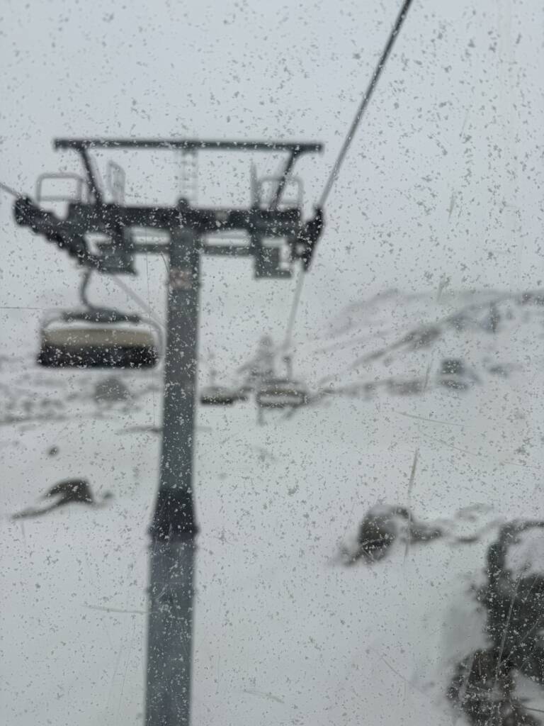
A significant weather front is set to bring heavy snowfall and strong winds to the western and northern mountain ridges on Thursday, December 19th. This rapid disturbance from the northwest will also help stabilize temperatures, which have been unusually high, with freezing levels recently reaching 3500 meters.
❄️ Snowfall Details
The snowfall will follow a two-phase pattern:
- Morning: Snow will begin at dawn with a widespread front moving across the region.
- Afternoon Break: A brief pause in the snowfall is expected in the early afternoon.
- Evening: A second, more intense wave of snow will arrive, dropping snow levels significantly.
- Snow Level: Starting at 2000 meters, the snowline will drop rapidly to 1000-1200 meters by evening, particularly in the western regions.
- Accumulations:
- Western Ridges (Rutor, Mont Blanc, Gran San Bernardo): 30-40 cm of fresh snow.
- Northern Slopes (Crevacol, Ollomont, Valpelline, Upper Valtournenche): 15-25 cm.
- Other Areas: 5-10 cm possible, with lighter amounts closer to the Piedmont border.
🌬️ Wind Advisory for Friday Morning
Following the snowfall, strong northwesterly winds will intensify overnight into Friday, December 20th, bringing potentially hazardous conditions:
- High Altitudes: Gusts reaching 130-150 km/h.
- Valley Floors: Gusts of 70-90 km/h.
These winds may cause blowing snow and reduced visibility, adding challenges to travel and outdoor activities.


